Maps with interpretive elements are priced on an individual basis after consultation. Each map will have four factors that determine its cost to produce:
Size & Scale
Feature complexity
Interpretive content
Framing
Size is the most significant factor influencing the amount of materials and labour required; prices will approximately scale with the surface area of the map. For an approximate estimate contact us with your idea, including information about size, location, and interpretive elements.
3D Map Pricing
Standard Sizes
Standard Sizes
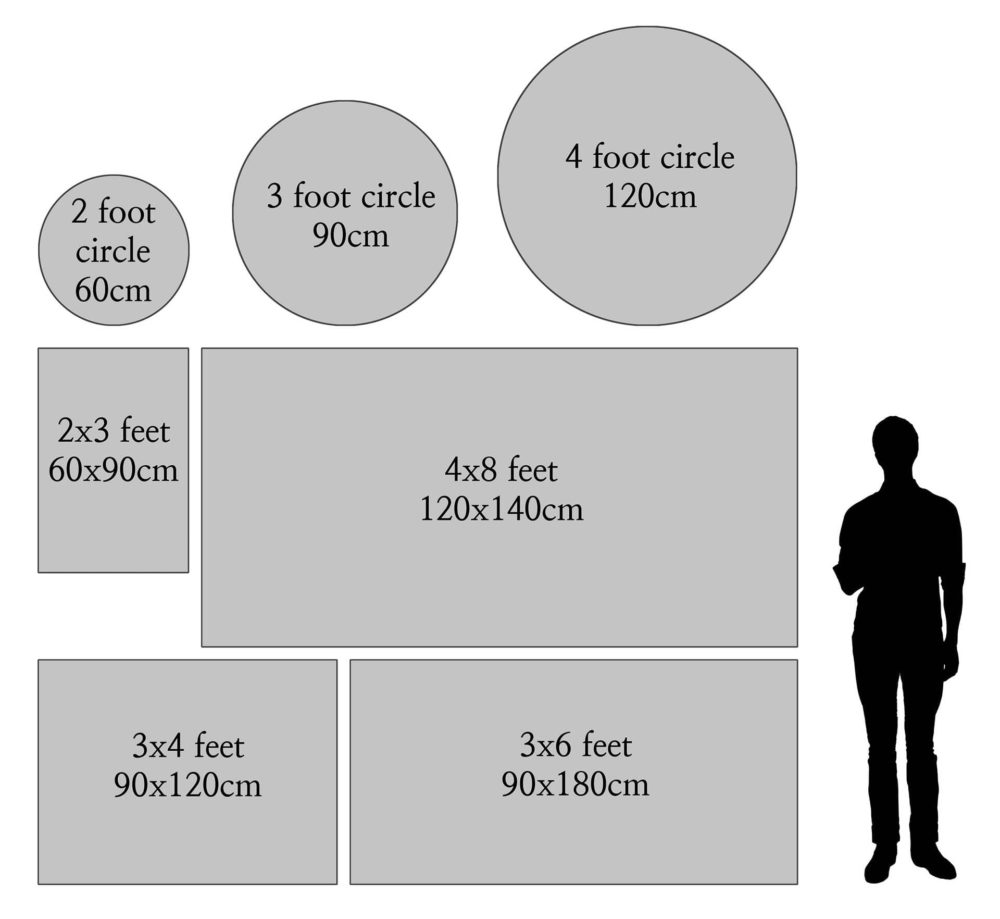
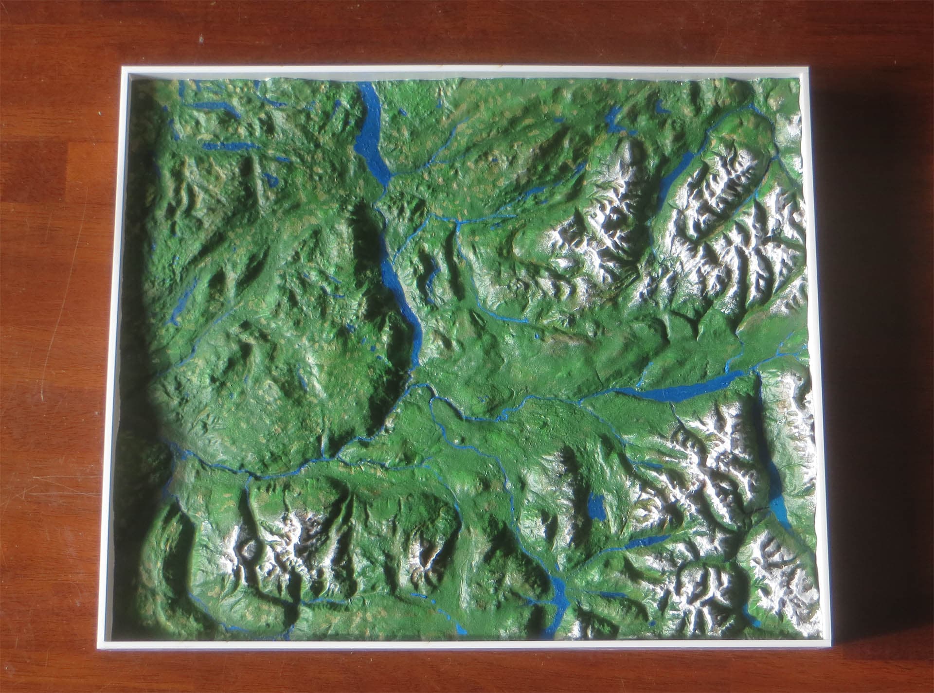
Landscape models without interpretive content have a set of standard sizes. They are more affordable to design and produce than interpretive models. Each model comes with a frame and a detached lasercut legend. These sizes have fixed prices before taxes and shipping, contact us for a quote.
2×3 ft (60x90cm)
3×4 ft (90x120cm)
3×6 ft (90x180cm)
4×8 ft (120x240cm)
2 foot circle (60cm diameter)
3 foot circle (90cm diameter)
4 foot circle (120cm diameter)
Standard Sizes
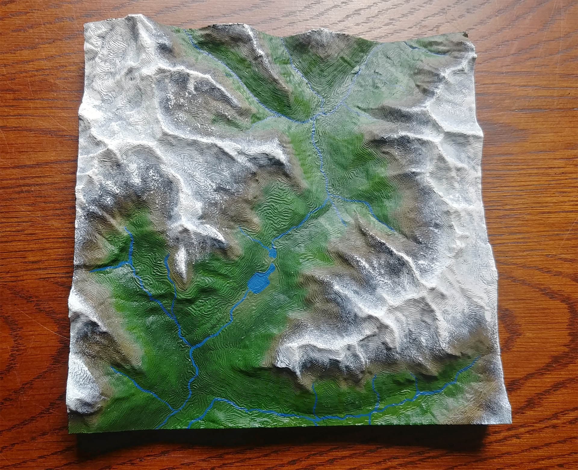
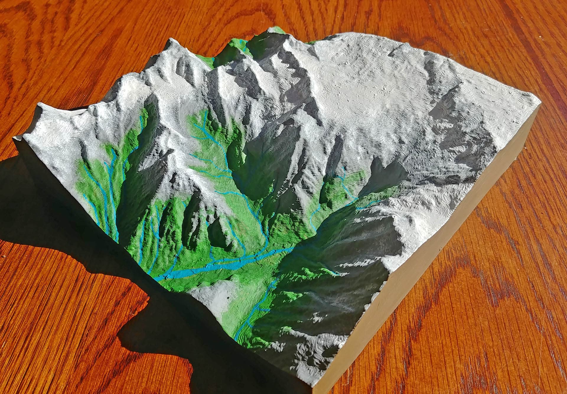
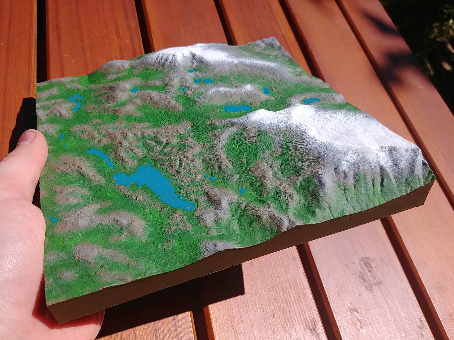
Small Relief Maps
These affordable models are made for individuals to connect with places that are special to them. They make excellent gifts or mementos, and can fit in a backpack for orientation on expeditions.
There are two standard sizes:
Rectangular (18x22cm│7.5×8.5inches)
Square (20x20cm│8.0×8.0inches)
Both sizes are $200 CAD before shipping and taxes.
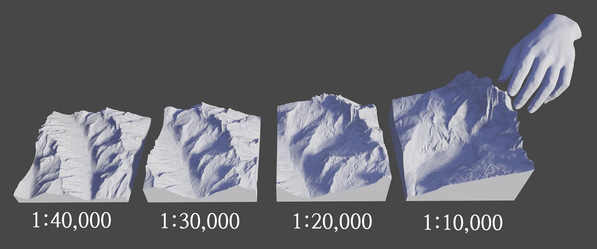
Cartographic scale refers to the relationship between the size of the model and the dimensions of the part of the world it represents. A map with a scale of 1:10,000 is 10,000 times smaller than the real landscape; 1cm of distance on the map will equal 10,000 cm (100 meters) of real terrain.
Scale one of the most important choices in 3D map design. The ‘closer in’ the scale, the more detail is visible and the taller the relief, but the less area can be included. Conversely, ‘further out’ scales allow large areas to be included but with shorter relief and less detail. There is always a three way trade off between scale, amount of area included, and map size.
The image below shows four scales of the same region. As the scale gets closer more detail is visible, the peaks are higher and more impressive, and the area included is smaller. This is why a detailed map of a large area requires large map dimensions.
Interested in an estimate? Contact us with details of the location, size, & scale you have in mind.