Rouge Urban National Park
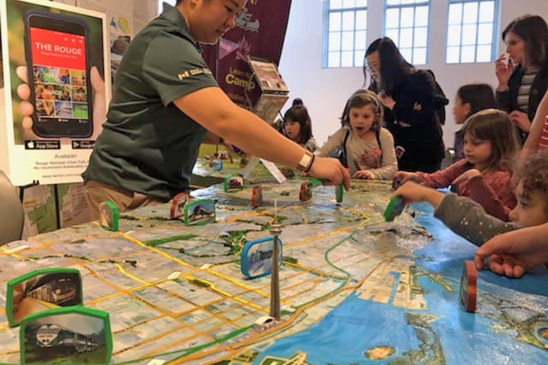
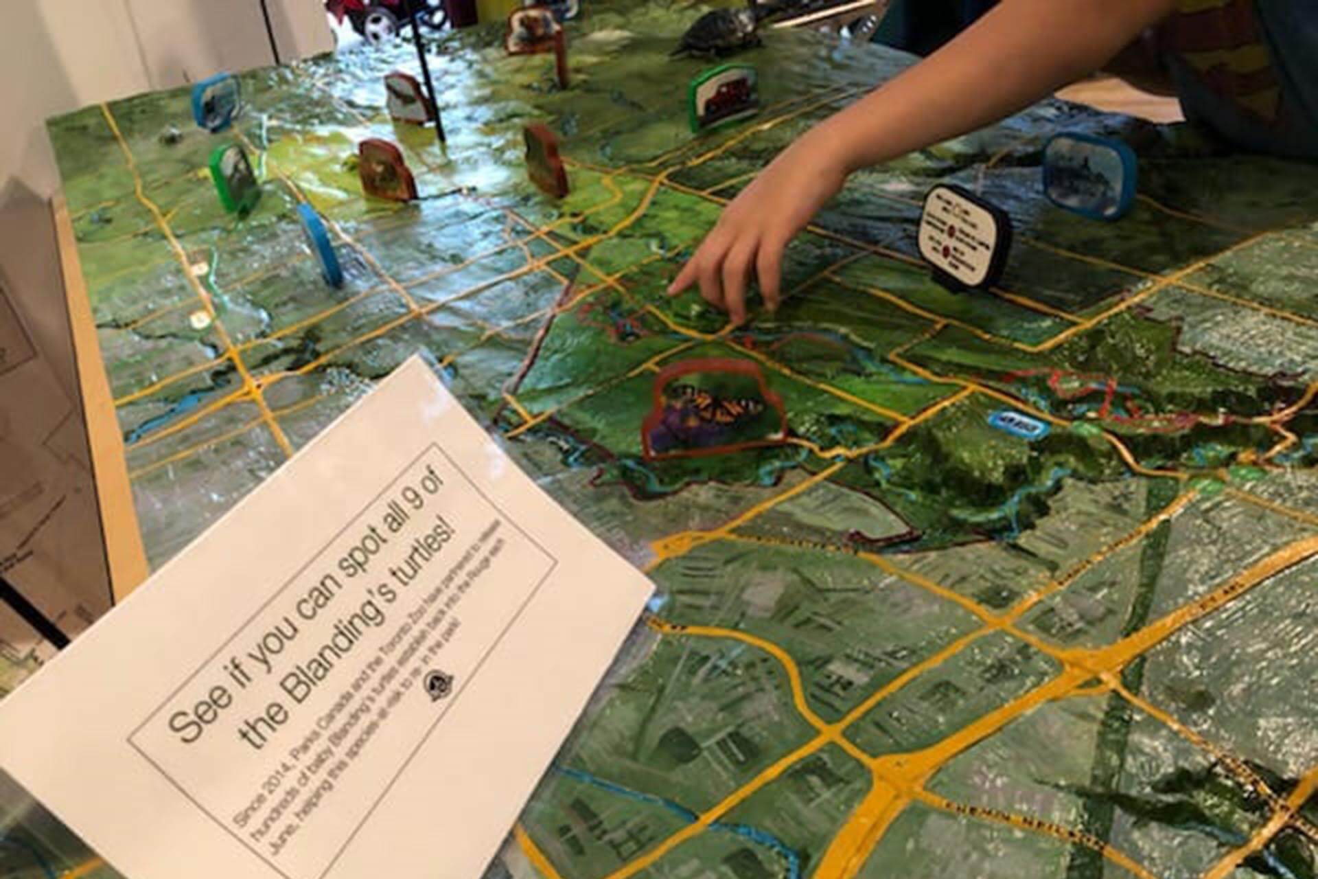
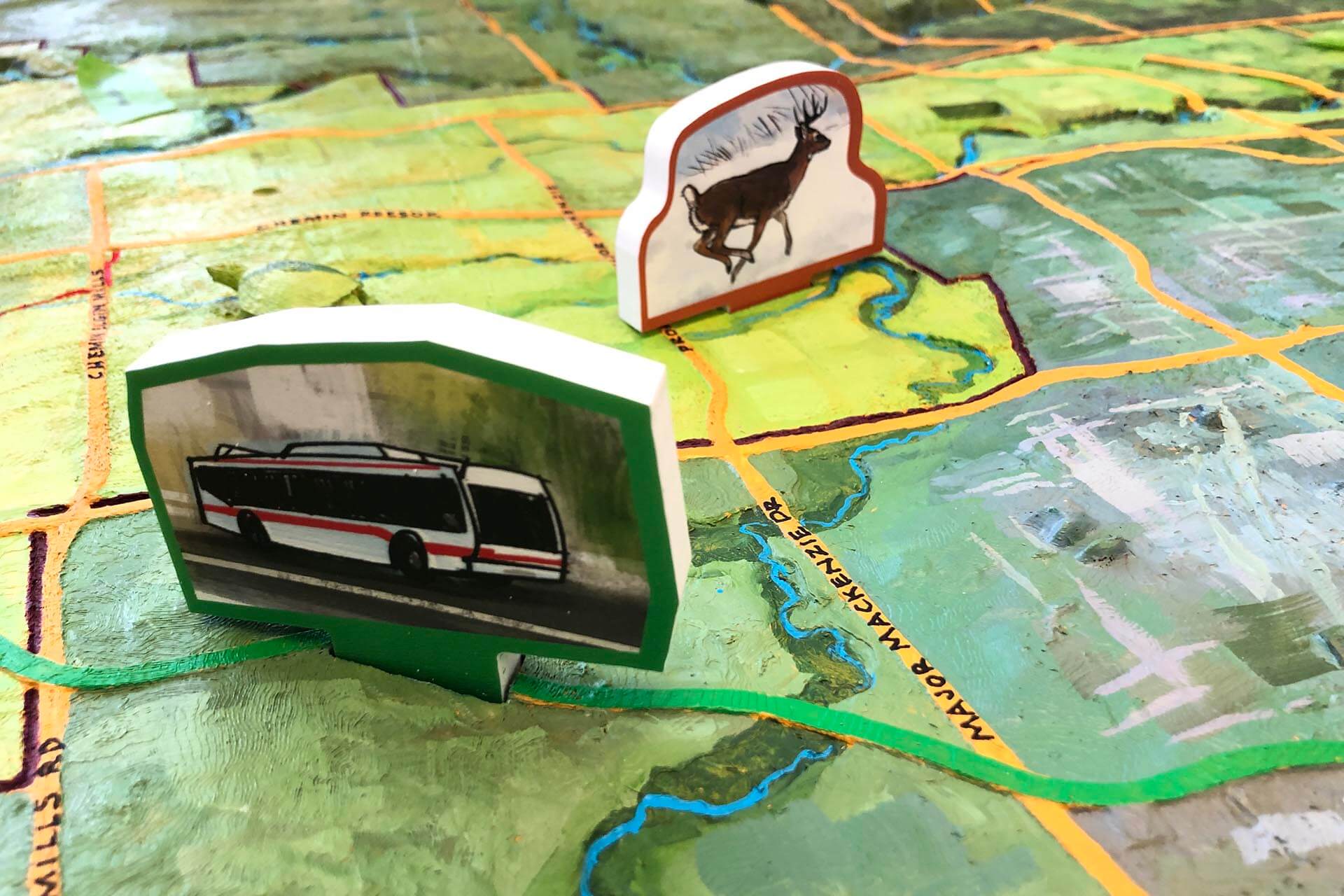
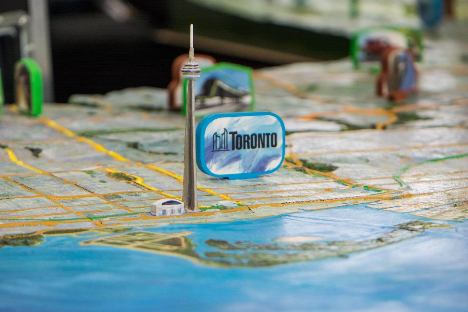
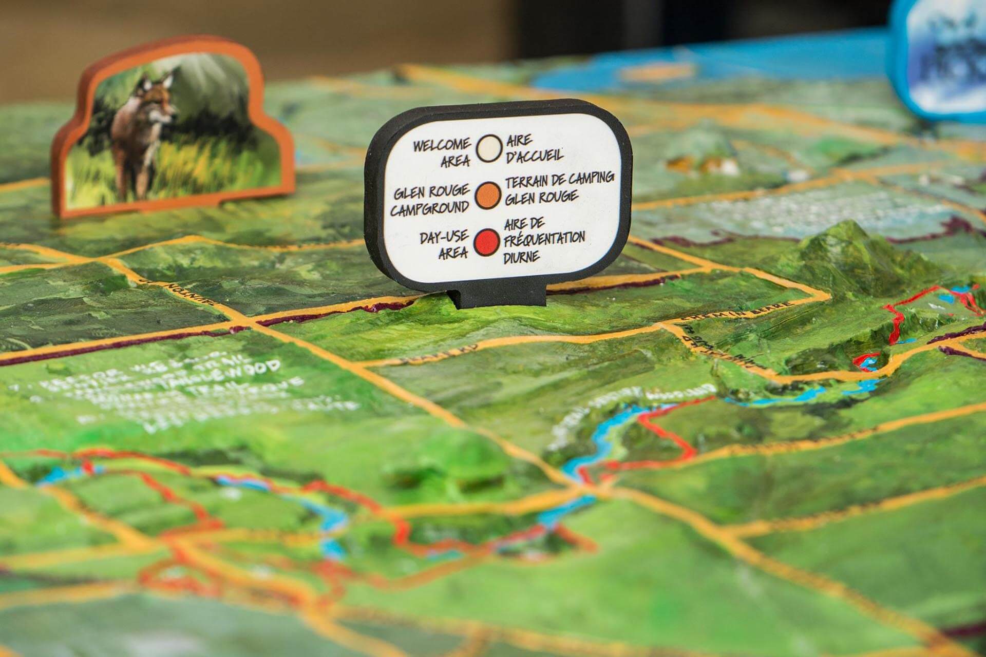
Featuring Rouge Urban National Park and the adjacent city of Toronto, this map connects people with nature. Each corner of the park area is painted to reflect a different season, and the paint style distinguishes the boundary of the park. To highlight ways to travel between the city and green space, transport networks like roads, railways, and subways are brightly coloured. Transit stops and key locations are labelled with markers built into the map’s surface. Several models of Blanding’s turtles, a key conservation species in this area, are part of the map’s structure and are used for a game where children try to find all seven turtles on the map. Designed for a mobile display, this large map is cased in two wheeled cabinets that can easily be transported to different event locations by vehicle.
Location: Ontario, Canada │ Scale: 1:17000 │ Year: 2019