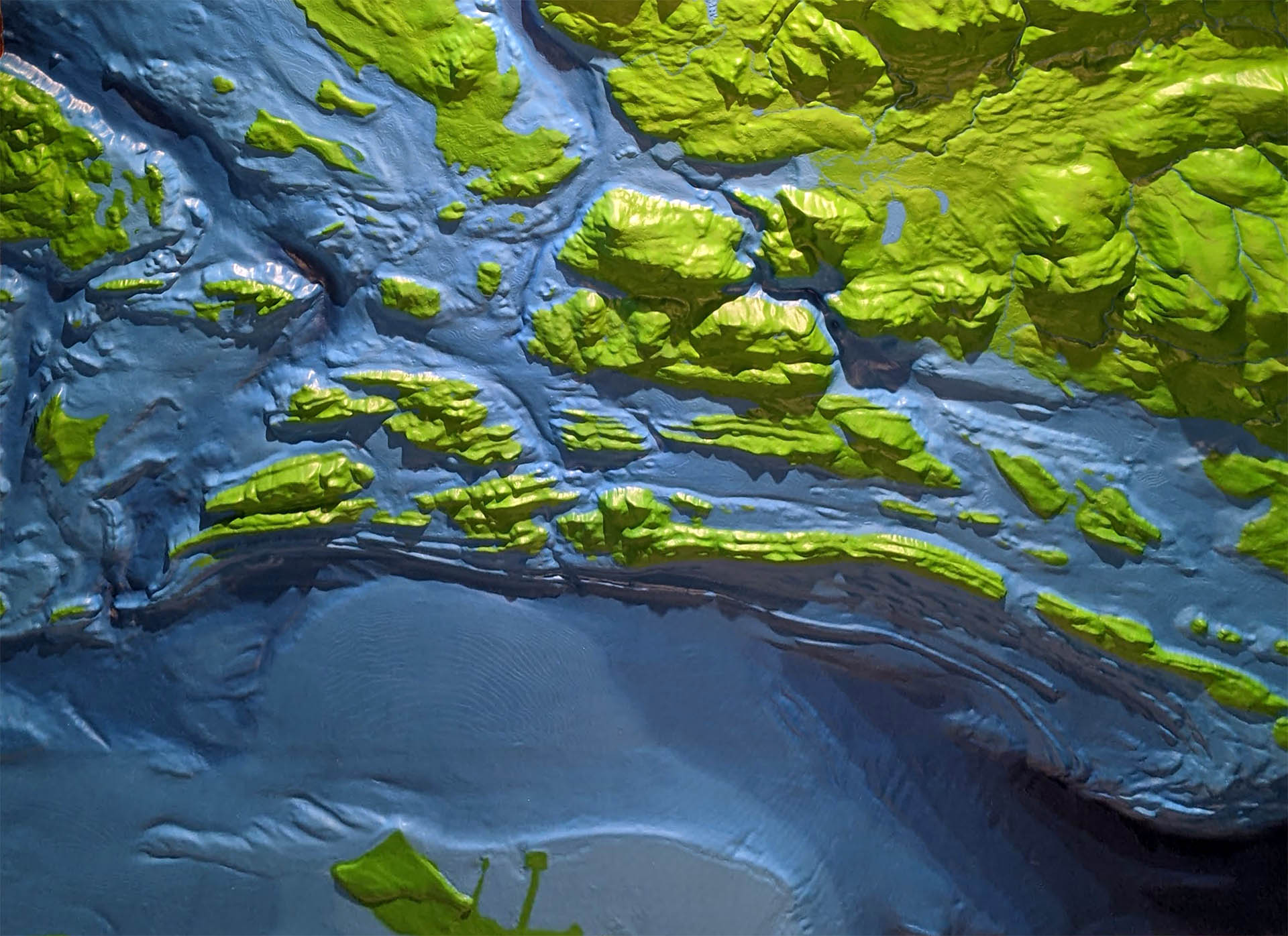
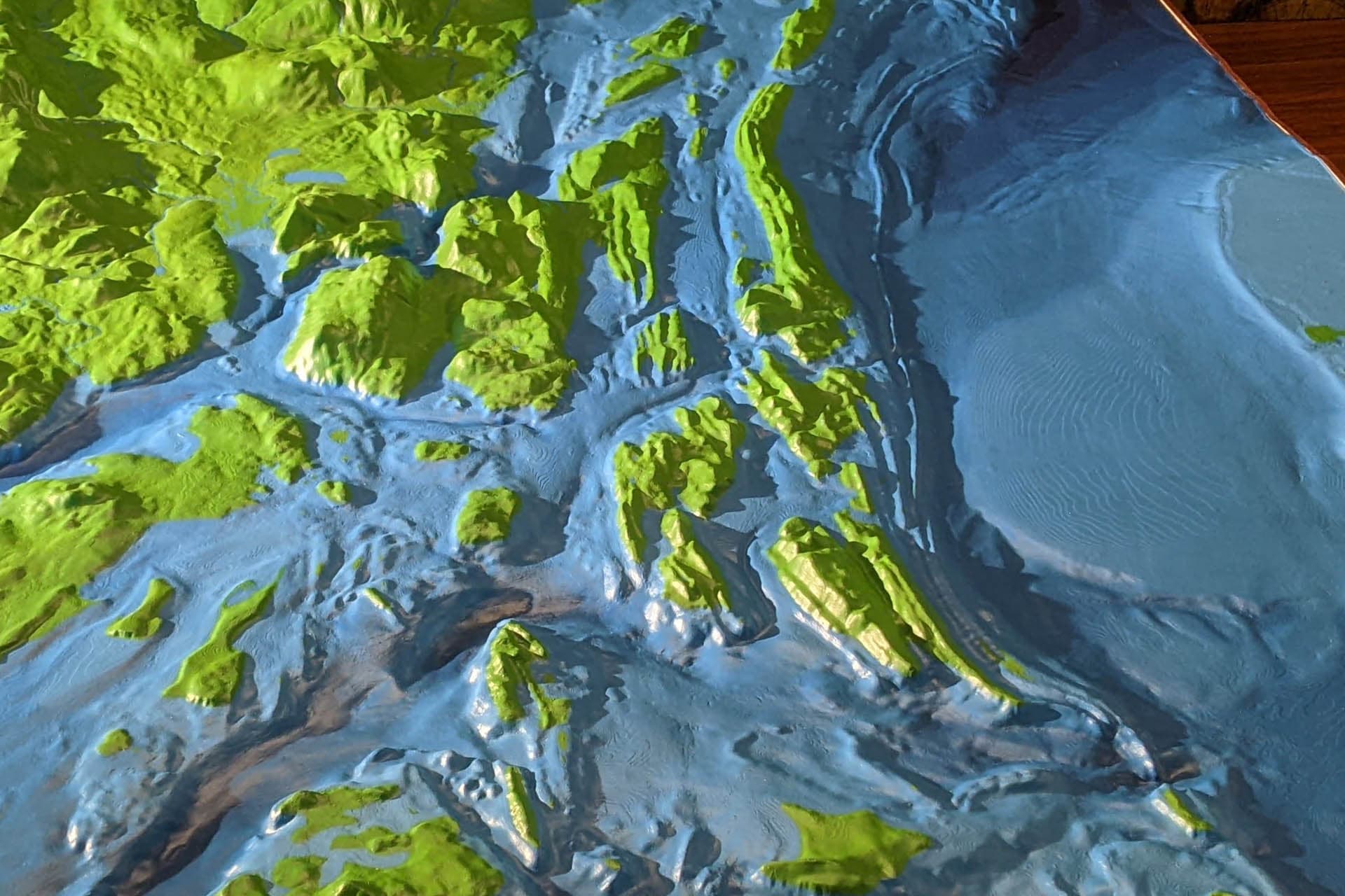
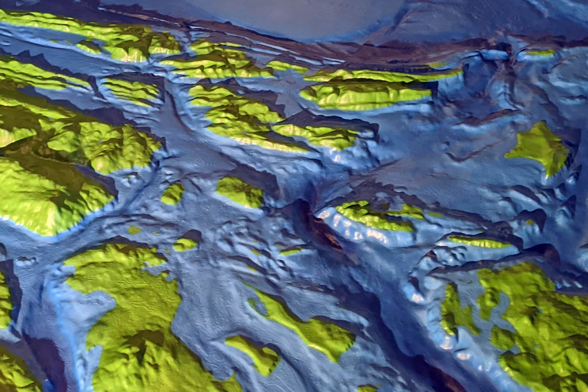
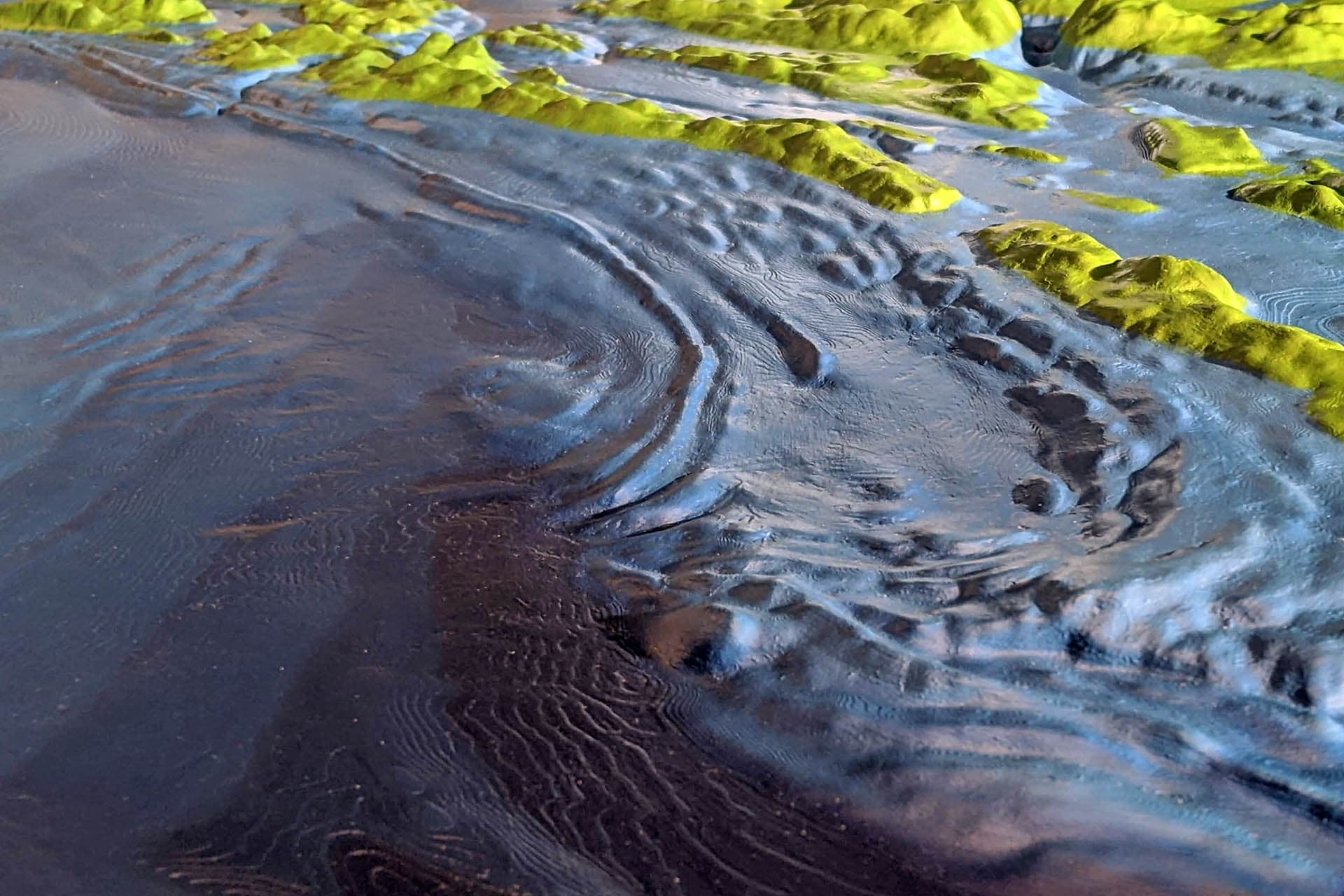
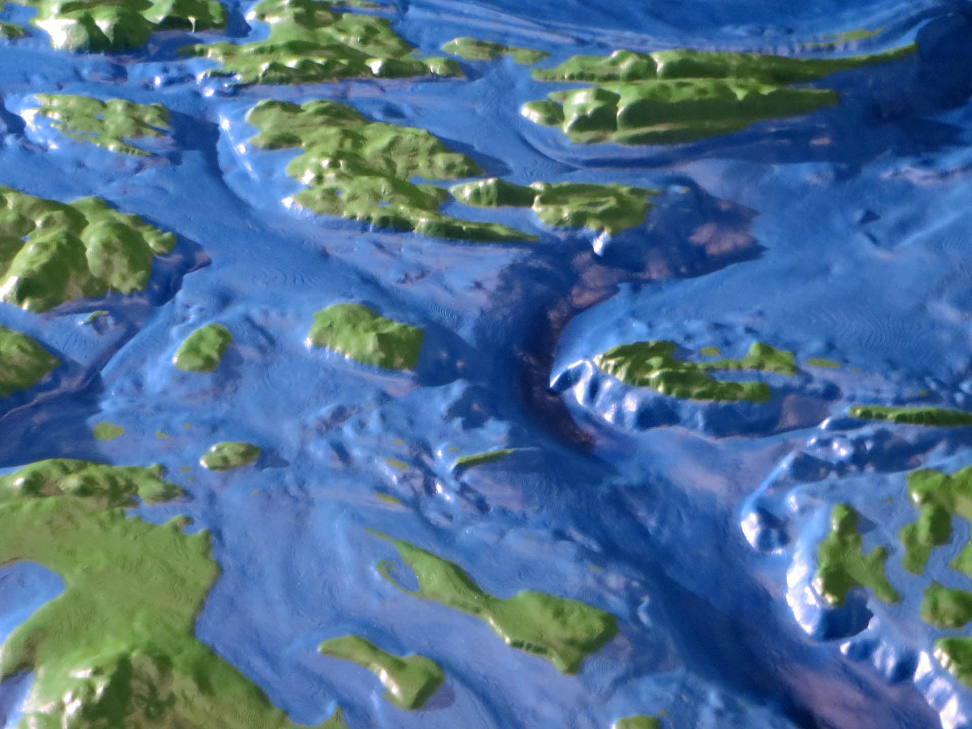
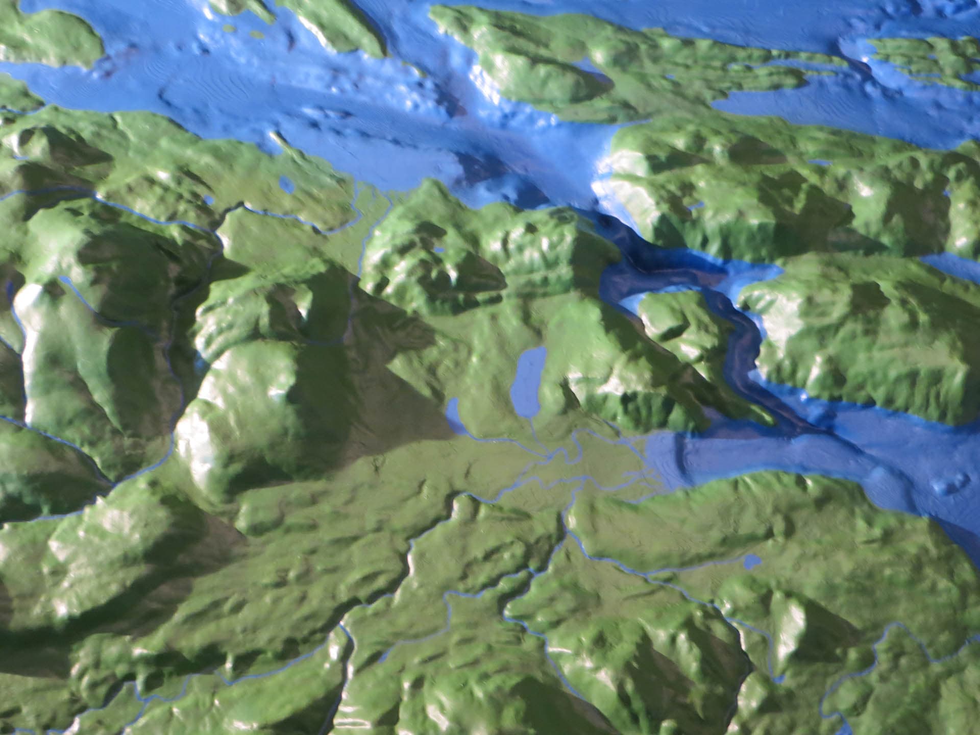
Southern Gulf Islands
This combined topographic/bathymetric map was created for conservancy group IMERSS. The featured location is the Southern Gulf Islands, an area between Vancouver Island and Vancouver. This region is an area of intense geologic pressure, with compression and folding giving rise to an archipelago of elongated islands. These islands, submarine topographies, and ocean currents create a wide range of habitats and niches, resulting in an area rich in biodiversity and a wide variety of complex ecosystems. This map is used by IMERSS to promote environmental awareness and the conservation of this special place in the world.
Location: British Columbia, Canada │ Scale: 1:50000 │ Year: 2021