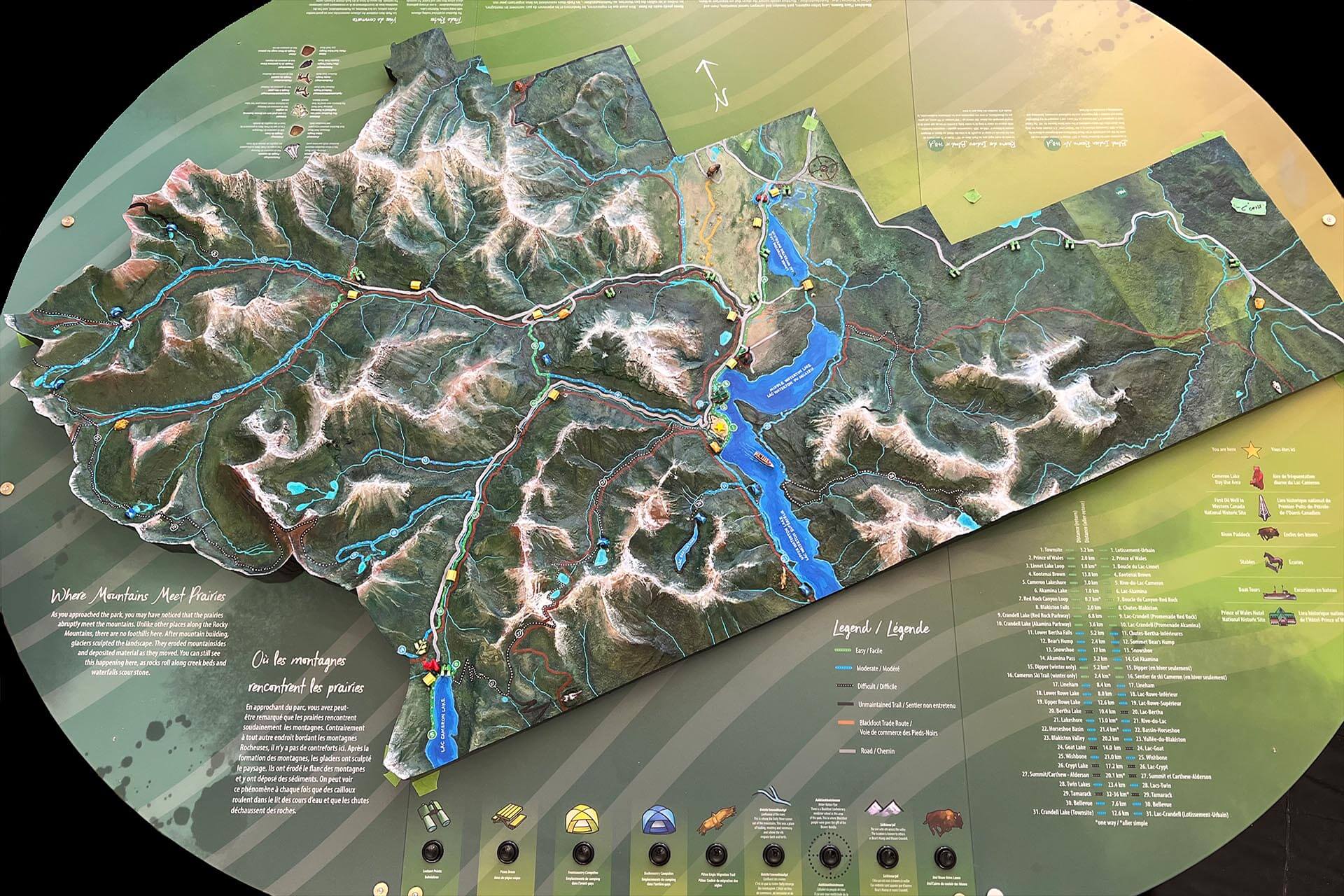
Waterton Lakes National Park
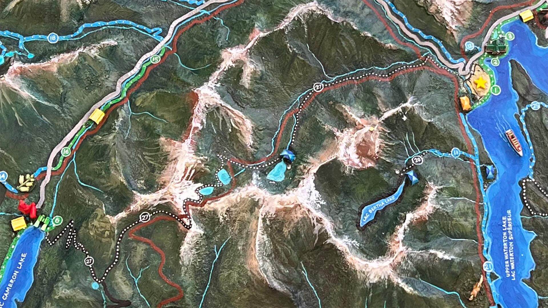
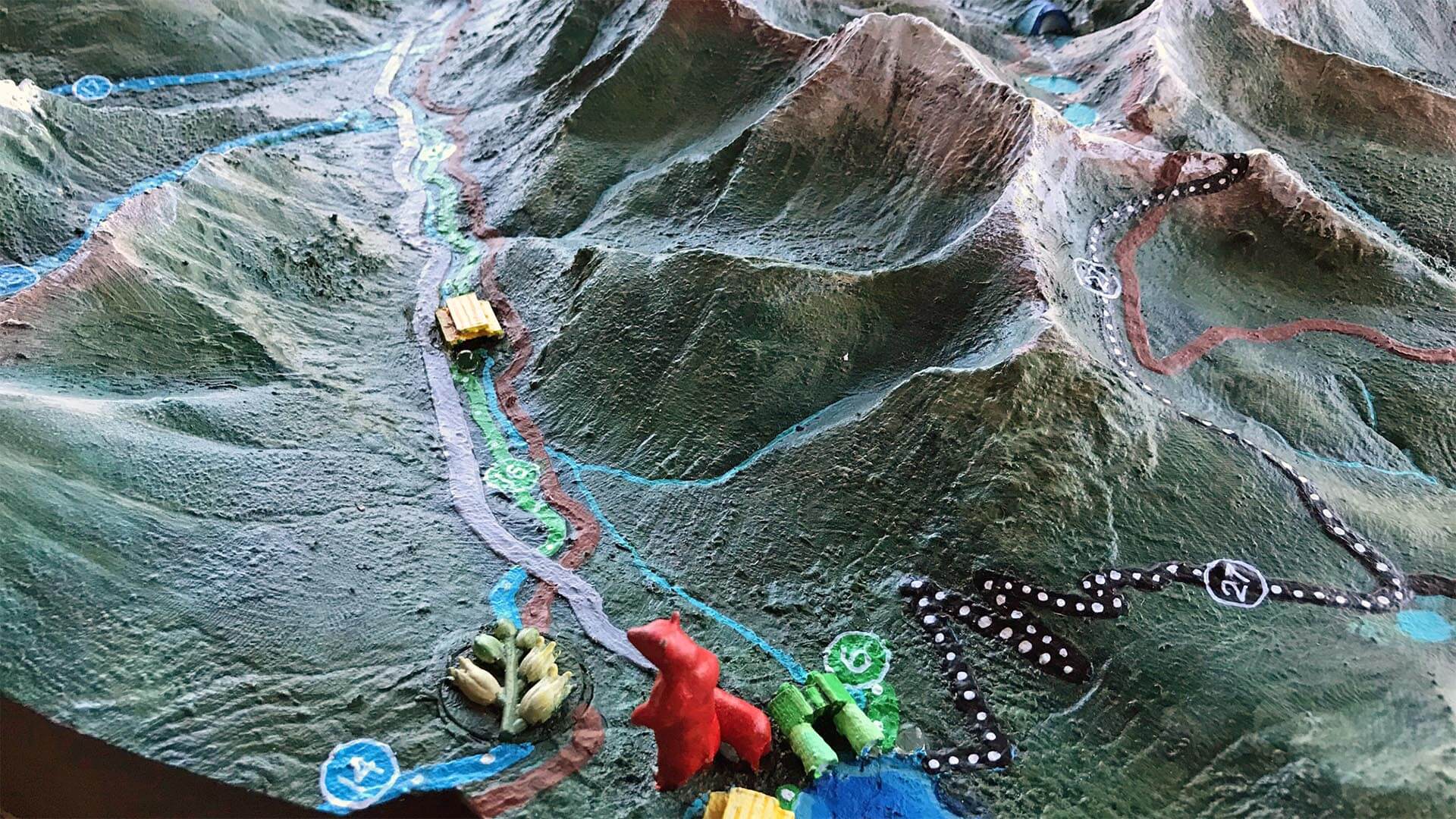
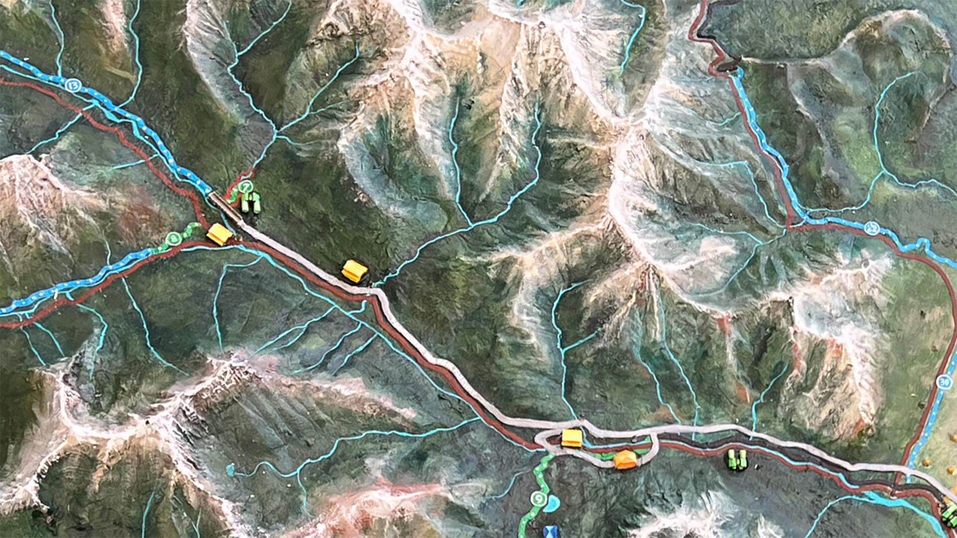
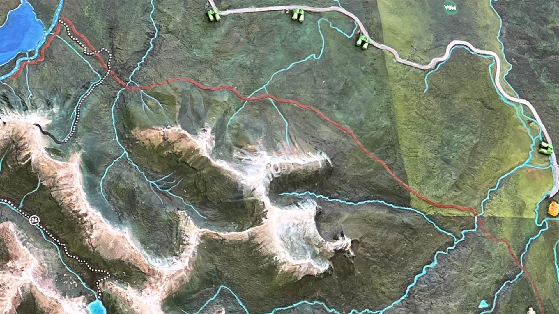
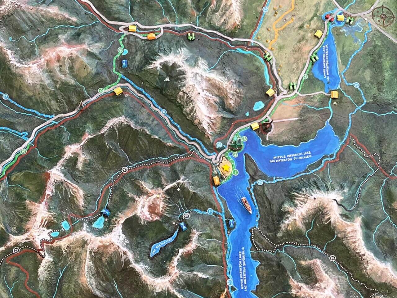
This map of Waterton Lakes is on exhibit at the new visitor centre. It serves to orient visitors to the park, present them with information about the location, and facilitate their trip planning and daily activities. To accomplish this, it displays key elements for both Parks Canada and the Blackfoot First Nation. Viewpoints, picnic locations, campsites and special locations are highlighted with decorative icons, and hiking trails are displayed on raised lines, coloured by difficulty. Historical Blackfoot trade routes are similarly illustrated, with icons for trade goods. Mountains and key locations are marked with button activated LEDs, and a legend links locations to names in English, French, and Blackfoot languages.
Location: Alberta, Canada │ Scale: 1:17500 │ Year: 2021