Waterton Lakes: Environmental Awareness
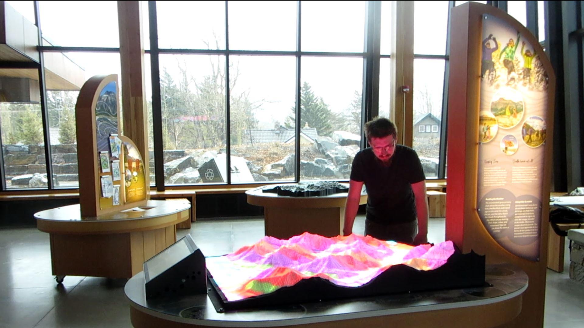
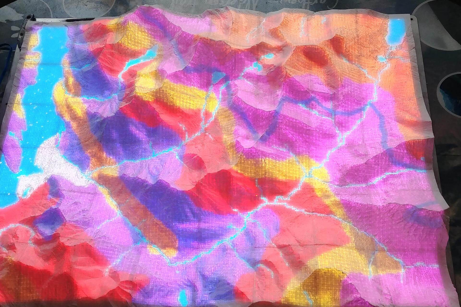
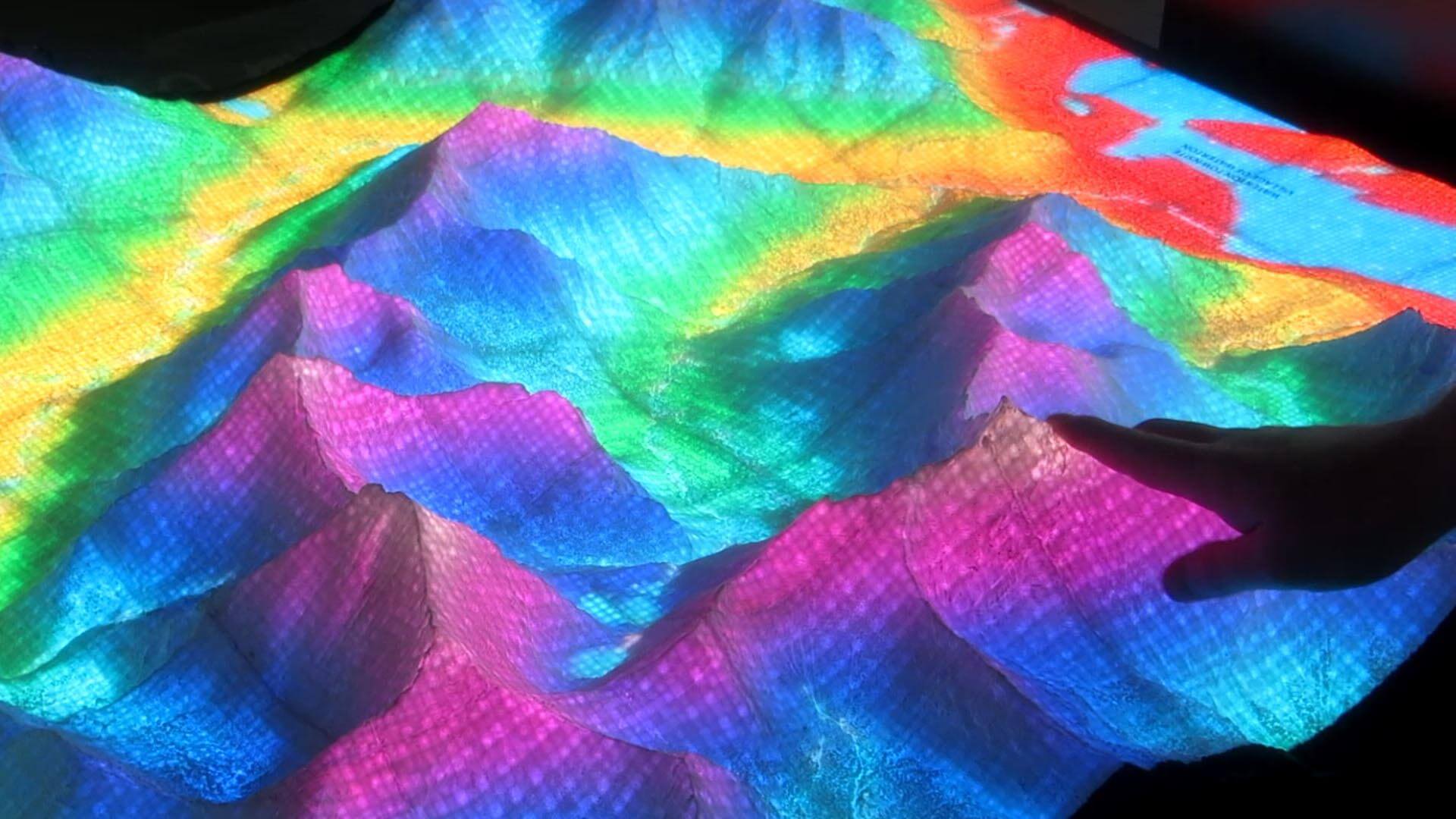
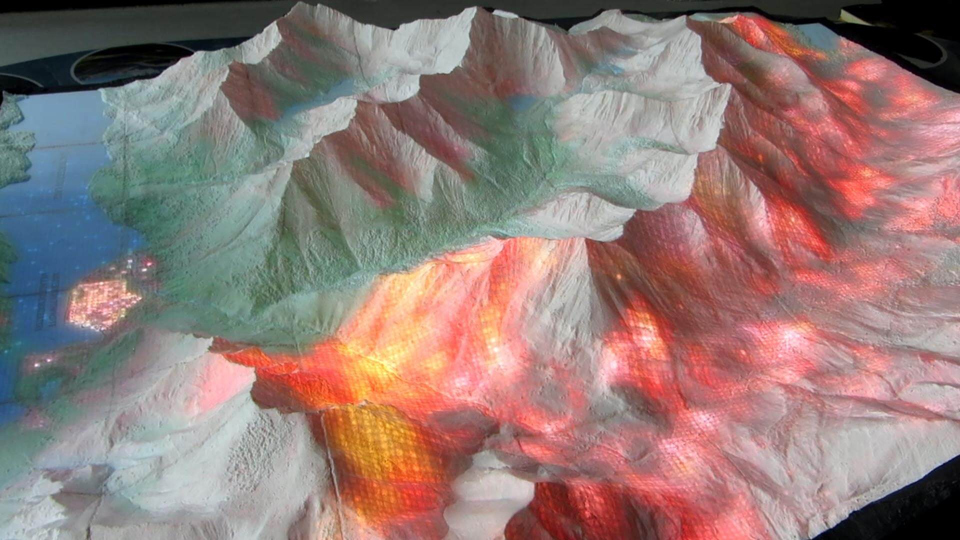
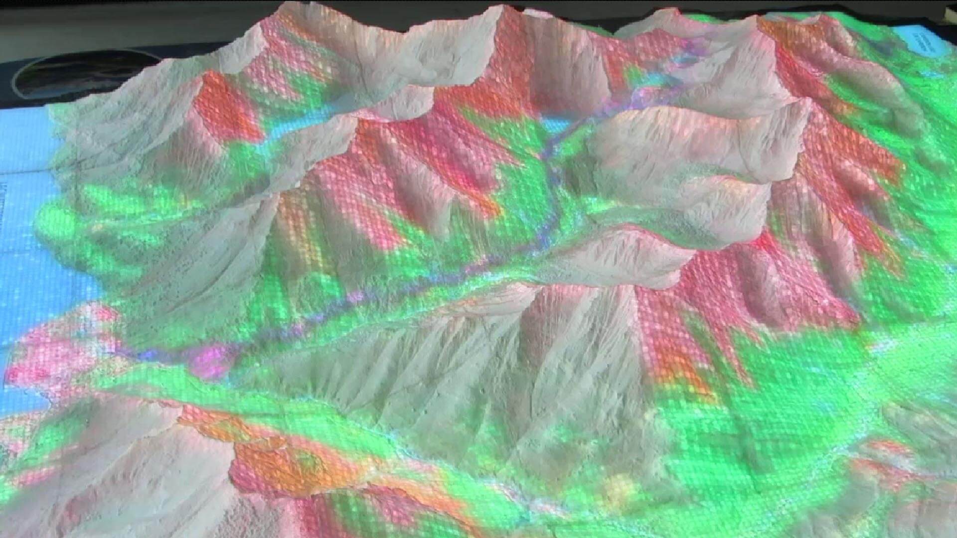
Our first Luminous Cartograph is on display at the Waterton Lakes visitor centre. This is a special kind of map which provides a visual representation of the dynamic landscape. The map is fully illuminated from within, and is controlled through a touchscreen user interface, providing information about several types of environmental conditions. It features seven visualisations, allowing visitors to see elevation, geological strata, the movement of light and shadow over the course of a day, a wildfire that swept through the park, simulated thunderstorms, and one day from each season of the year.
Location: Alberta, Canada │ Scale: 1:9000 │ Year: 2021